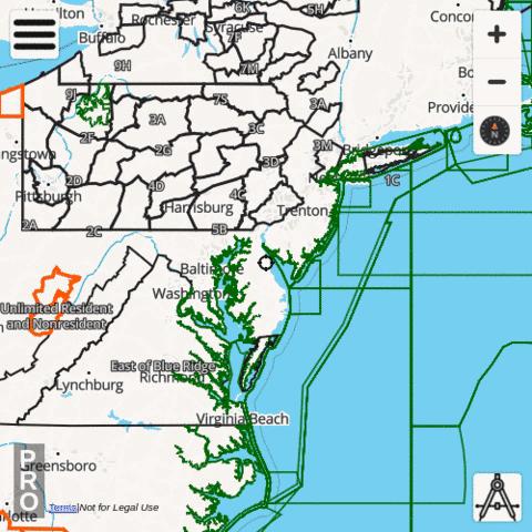
The i-Hunting app includes Delaware Hunt Planner with vector topo maps, public lands, parcels, hunt zones, elevation contours and several other map layers designed to make hunt planning easier. The hunt app includes all advanced features of a standalone hunt GPS unit. The hunting GPS maps for Delaware are fully customizable. All individual hunt map layers can be enabled selectively or downloaded for offline use.
Delaware Hunt Planning Layers
|
Delaware Hiking Trail Maps
The i-Hunting topo maps include detailed topographic contour maps, trail maps, spot elevations and other structures for all national and state parks in Delaware. All the trail maps are fully vector, can be downloaded offline to the device. Vector hiking topo maps are reduced size maps, that can be zoomed in without any pixelation and take very little space on the device.
Delaware public and private land stats
| Government Lands | 639.37 square miles |
| Percent Government Lands | 31.79 percent |
| Private Lands | 1371.91 square miles |
| Percent Private Lands | 68.21 percent |
Delaware Hunting Regulations
The following website contains hunting regulations/seasons and details on purchasing / acquiring hunting /fishing licenses / permits. Please visit the following website directly to find more details regarding hunting regulations for Delaware